Chengshan Road Under Construction

After completed for few years, the Chengshan Road surface is under construction. The big machine had get rid of asphalt of the surface, and waiting for the new surface to be laid out. So, currently, the road surface looks like this:

It will be few days like this, and it caused big problem with the traffic. It reminded me of the most advanced asphalt paving system I have ever seen. It combined the two steps into one, and the road is instantly new with the asphalt. Shanghai should learn from Weihai.

Xizang S. Road Tunnel

It has been quite some time since I had the relaxed time to update the construction of Shanghai. Today, I am going to talk about the Xizang S. Road Tunnel, which opens many months ago.

It opens along with the Renmin Tunnel, and added it to the many of the tunnels, and bridges along the Huangpu River. It starts from the Xizang S. Road in Puxi and connect with the Gaoke W. Road at Pudong. It is the tunnel I am using everyday, instead of the previous Lupu Bridge, or Nanpu Bridge. It provided a traffic free shortcut between my home to Xujiahui.

Tunnels and Bridges on the Huangpu River

How many tunnels and bridges are on the Huangpu River? I don’t know exactly, since there is too many. Dapu Road Tunnel was the first tunnel in Shanghai and the first bridge was Nanpu Bridge. After that, the construction of the connection between Pudong and Puxi became crazy. Here is a list.

(in the order from the north to the south).

===== Outer-Ring Road Tunnel 外环路隧道

===== Xiangyin Road Tunnel 翔殷路隧道

===== Jungong Road Tunnel 军工路隧道

/////////// Yangpu Bridge 杨浦大桥

===== Dalian Road Tunnel 大连路隧道

===== Xinjian Road Tunnel 新建路隧道

===== Yan’an Road E Tunnel 延安东路隧道

===== Renmin Road Tunnel 人民路隧道

===== Fuxing Road E Tunnel 复兴东路隧道

/////////// Nanpu Bridge 南浦大桥

===== Xizang S. Road Tunnel 西藏南路隧道

/////////// Lupu Bridge 卢浦大桥

===== Dapu Road Tunnel 打浦路隧道

===== Longyao Road Tunnel 龙耀路隧道

===== Shangzhong Road Tunnel 上中路隧道

/////////// Xupu Bridge 徐浦大桥

/////////// Minpu Bridge 闵浦大桥

/////////// Fengpu Bridge 奉浦大桥

/////////// Minpu Bridge II 闵浦二桥

Too many, isn’t it?

The Bund Tunnel

Half years after the Bund Tunnel opened to public, I had the chance to use it for the first time yesterday.

The Bund

The Bund, and the 30+ buildings along the Bund are landmark of Shanghai. It is where the modern Shanghai got started 200 years ago. The buildings on the west side of the Bund are the most historical, and magnificent buildings of the city, and on the east side, is the mother river, Huangpu River, of the city.

The road of the Bund, however, is mass, and congested for decades. The East Zhongshan Road is one of the major roads in the area. Everyday, huge traffic go through this road. The massive traffic from the whole Hong Kou district, and the south of the Huangpu district are connected by this road.

Update June 28, 2010

For those who don’t really understand why a single road can be the key entrance of an entire district, please see the map below:

map-hongkou.bund.tunnel.PNG

The circle is the Hongkou district. The Yangpu district is beside Hongkou. For centuries, there is no tunnel or bridge on the Huangpu river. If people in Hongkou want to visit downtown Shanghai, they have to move westward, and southward – all end up passing the Bund area. So the key reason for the transportation problem of that whole area is the shape of the river – just like a half circle around that two districts.

End of update

What is the Bund Tunnel

Many visitors to Shanghai may not notice the existence of this tunnel. The tunnel is (ugly) outlined as bold red line in the map above.

The tunnel starts at Siping 四平路 Road on the north, and goes all the way cross the Suzhou Creak, and under the Bund area. It forks two directions on the south – one connect the East Yan’an Elevated highway, and on the south become the East Zhongshan Road. 中山东一路

The tunnel has 3 lanes for each direction. It has two layers for each direction.

The Significance of the Tunnel

Before, the road before the historical buildings (the Bund) are among the widest roads in Shanghai to accommodate massive traffic. Visitors to the Bund will find them in the middle of the heaviest traffic, and the best historical architect. There were no easy ways to cross that road. There are two pedestrian tunnels, and a overhead bridge – too hard to cross. Look at this picture I took in 2004, and imagine how you can cross that wide road.

Now, when all the through traffic goes under the Bund, the road along the bund becomes very narrow – just two lane for each direction. There are pedestrian directly on the road – people who jay walk are also safe – considering how less the traffic is.

Now, the water front is much more accessible. The renovated waterfront is connected with the buildings in a new way. That is a much more pleasant experience than before.

The Buildings

The change of the road also resulted in significant change of the buildings along it. It gave the old buildings a second life.

The area was known for Three on the Bund – a premier location for entertainment, and dining. The momentum to turn the old buildings into modern places is followed by 18 on the Bund, and now, No. 6 on the Bund. The buildings started to turn their face, and become modern again, one after another.

Shanghai Expressway Map

It has been a while since I last draw the diagram of Shanghai Expressway. Compared to the old map I draw, I feel I grew up a little bit in the last 4 years.

Here I proudly present the new Shanghai expressway map as of 2010.

©Jian Shuo Wang

Let me give you a little bit explanation.

The Rings

There are basically four big ring expressways in Shanghai – the four blue square.

The Inner Ring Expressway (no numbered name)

The Middle Ring Expressway (no numbered name)

The Outer Ring Expressway (S20, formally A20)

The Suburb Ring Expressway (G1501, formally A30).

The G1501 is not completed yet (you can see absence of a corner at northeast side).

The four rings become the back bone of the transportation systems in Shanghai.

A fact that many people ignored was, although they are called Ring Road, they are not circles. Instead, they are more like a square. Pay attention to most of the corners, and you will see that it is well designed. The rings formed GRID, instead of some hard to handle round corners.

The Radiation Lines

From the rings, especially the S20, the Outer Ring, the radiation lines point out from Shanghai. They are basically the same road, but with a new name (G60 as example)

Now, the G42 goes from Shanghai to Chengdu (via Nanjing)

G50 goes to Chongqing

G60 goes to Kunming

S1 goes to Pudong Airport

S2 goes to Yangshan Deep Water Port

S4 goes to Jinshan and merge into G15

S36, and S19 connect the southwest corner of S30 to nearby expressways

National Expressway

Besides the radiation lines, G15 is the National Expressway from Shenyang to Haikou, passing Shanghai.

G1501 is named after G15. The 0 in the name implies a ring, and the 1 means the first round-city ring along the G15.

S32

The only one left without an explanation is S32, formally A15. That is one of the most impress highways in Shanghai, although it does not have a simple name as G60, or S30…

S32 starts from Pudong Airport, and goes all the way west and reaches G60.

If you drive from Hangzhou to Shanghai, far before you get close to the downtown Shanghai, you will see a sign pointing to Pudong Airport. That is the starting point of S32!

Enjoy the nice Shanghai expressway system.

P.S. My naive drawing 4 years ago

Xinjian Road and Renmin Road Tunnel

Before I know it, two other tunnels cross the Huangpu River opened at the end of the last year: Xinjian Road 新建路隧道and Renmin Road Tunnel 人民路隧道. Along with Fuxing Tunnel 复兴路隧道, Yan’an East Road Tunnel 延安东路隧道, and Daliang Road Tunnel 大连路隧道, there are 5 tunnels in the area.

The Two Tunnels Connected

The interesting thing is, the two tunnels are connected. Cars from the Huaihai Road direction can enter the Renmin Road Tunnel, and exit at either Pucheng Road, or the Century Ave, or choose to continue to enter the Xinjian Tunnel to cross the river again to arrive at the Yangpu District. This is a brilliant design. Traffic from south of Puxi to North of Puxi (Yangpu district) will be en routed to another side of the river (Lujiazui Area), through two connected tunnels.

Photo of Rush Hours

Wendy took a photo of rush hours on Huashan Road. Look at below:

552148_209680522.jpg

Photograph by Wendy Fan

552148_209682767.jpg

Photograph by Wendy Fan

That is the bonus of living in a big city.

The Founding of a Republic

Wendy and I went to theater to see the movie The Founding of a Republic – the politically important movie. It is about the beginning of the domestic war and the end between 1945-1949, a movie to celebrate 60 anniversary of the People’s Republic of China.

U3088P28T3D2713308F326DT20090925132541.jpg

My comment? Well, better than expected, since for the first time, it tells the story from two side – the KMT side and the CCP side. For most of the time and event, I take it suspiciously. I am not for sure which part is fake, but my tendency of thinking is, there are many facts altered from the history. Just need to spend more time to dig into the details of that 3 years. Actually, the movie raised my interest in recent history again.

For my readers outside China, there is something so funny for the movie. The 135 minutes long movie accommodated 170+ celebrities in China, with most of them only have several seconds to show. Famous star like Zhang Ziyi only also have about one or two sentence in that movie. That added some humerus factor to this movie.

Fast Changing Shanghai

One of my favorite thing involving traveling to US for one week is that when you come back to Shanghai, you find so many things changed in one week. One week means a lot in current Shanghai.

Construction

From the first thing I noticed – the facade of the building under construction near my residential area were completed. Several new buildings (20+ stories high) just suddenly appeared there. Well. They were not built in one week, but it took just one week to remove all the greenish construction wrappers around the building to reveal a beautiful new building.

The structure of the via-duct at the Yanggao South Road 杨高南路, and Gaoke West Road 高科西路 was completed. From nothing to a big bridge over head is a big thing.

The new ramp of the Nanpu bridge is almost ready. Within weeks, we may be able to use the newly added ramp to get to Nanpu Bridge from Pudong side. That is a huge project, but they are almost reaching the end of it.

The elevated highway connecting Nanpu Bridge above the Long Yang road made huge progress. All the bridges from the via duct to Jinxiu Road are almost finished. Before I visited US, there were just huge poles spreading along the several mile range.

The Inner Ring from Nanpu Bridge to Luban Road section were painted to white. Before, it was just cementing, and the color is the default gray, and now it is painted to white. The Luban Road via-duct was completely painted to light yellow.

Before I enter the SJTU campus, the Gong Cheng Road was detoured to make room for the construction of the tunnel of the new Metro line. However, the detour should only last for several week before the station is completed. With more than 200+ metro station under construction, they have to be quick.

Others

The count-down of Shanghai Expo have gone below 300 days. Now is 290+ days…

Today, the Shanghai has the bluest sky in the recent weeks. I love Shanghai a lot, IF the weather is always like this. This is just great. There are white clouds floating on the clear blue sky. The air quality is just like the Silicon Valley. I love it.

Photograph by Jian Shuo Wang using Li Jia’s camera

Well. To many different things happens. Every time when I am away from Shanghai for a while, and getting back is exciting. It is just like pressing the fast forward sign of a DVD player. You discover new things that you seldom notice when you are there every day.

What I love Silicon Valley a lot is, it is stable, and every time I visit, it does not change too much – AVIS has exact same counter (maybe same person greeting you at the counter), and the cars are always at K rows (K6, K39?). The restaurants are still there, serving the same dish. All the roads, are the same for sure.

Strange Feeling

At the same time of being exciting for the progress of physical construction in Shanghai, I feel more and more painful about the tightening censorship, and GFWs. On the policy side, China is really far behind what people expected it to be. The recent riot in Xinjiang is a big hit, although all the media try to stay as concise as possible about it. I don’t think I know enough to make a comment about it yet, but I am deeply concerned.

A15 Expressway Shanghai

Shanghai has pretty huge construction these days. Yesterday, Wendy and I drove to Minhang, and saw the construction of a brand-new long expressway was under construction: the A15 Expressway.

This new expressway is not well-known yet. It starts from the Pudong International airport, and go from there west-bound, and get cross the Huangpu River via a huge Minpu Bridge, and continue to go straightly west, cross current A4 road, and go to Zhejiang province. It was reported that the expressway will be completed this year (2009).

I just talked about the Shanghai Zizhu Science Park yesterday. I thought the park is just too far away from anywhere in Shanghai. With the construction of A15, and Minpu Bridge, I just realized the significance of the Zizhu Park – it is exactly at the conjunction of A15, and A4 (the other side of the conjunction is the Shanghai Jiaotong University Minhang Campus. This way, the Zizhu Campus is much more closer to the Pudong Airport, making it a good place to build factory and R&D facility.

I ever described the Zizhu Campus to be in the middle of no where (many people still thinks so), but it is just at the starting point to become a pretty good place to be. Zhangjiang Hi-Tech Park is another example. From the Puxi Centric view point, it is too far away from the People’s Square, but on the other side, it is much closer to the Pudong Airport – an even more important criteria to determine the future of an area.

With the spreading of the road facility and all the plans became real, I started to think about the city planning. There are some key road that can significant change the dynamics of the landscape of an area. We are just not experienced enough to understand all these just from plans. Maybe only more experience can help us to predict the future of an area better.

Hard to Use Metro Instead of a Car

I wrote an article titled Leave Home Early to Avoid Traffic Jam. I said I have to wake up one hour earlier to avoid traffic jam. Many readers suggested me to take metro. For example:

How about Teleworking?

Or Car sharing?

Or taking subway?

Posted by: ecodelta on May 27, 2008 12:50 A

And this:

Does it take more than one hour for you to use the subway to get from your Pudong home to Xujiahui? Why not only use the car for weekends and trips other than work, in a more European style? I’ve now returned to Shanghai after just three years away, and the increase in private cars is amazing. An increasing number of car commuters during rush hour has so many bad points, and public transportation is so good in Shanghai now. How about trying the subway at 7, maybe before it too is so crowded?

Posted by: Aili on May 27, 2008 12:53 AM

And this one:

I don’t suppose you would ever consider moving closer to work. :) There’s some nice places to live in Hongqiao.

Posted by: Chinkerfly (external link) on May 29, 2008 12:18 AM

Finally this one:

what about forget the car in the car park and take public transport such buses and metro

its true that if you do not use the car your will not show to people that your own a car (status symbol), but if you do not drive yoru car and go with public transport, you will do to you and to all the following:

1) save petrol money bills in your pockets as well save the cost of car usage

2) most important of all save pollution to you and and everybody, as the not only the choking smokes of yoru car, but all the petrol plastic and pollutant material used for a car will be less consumes.. so finally you will help the world

3) dicreasing the consuem of petrol, will help to decrease wars, in example Iraq, Afganistan, durfur….

so think… instead to wake at 5…. take the subway…. you do a favour to you first and to everybody …

Posted by: jerry on May 29, 2008 10:01 AM

Thanks a lot for giving me suggestions, and I will consider it, and will try alternatives, but before I gave you the report, let me tell you more about why I made the current decision – a chance for my readers to know the life of Shanghai better.

Metro?

I love metro. I am a big fan of Metro. As you can see from the articles I wrote about Metro, riding a metro is the best thing I can think of to do in this city. However, riding a metro is still not a very feasible way for me to do it. There are several reasons.

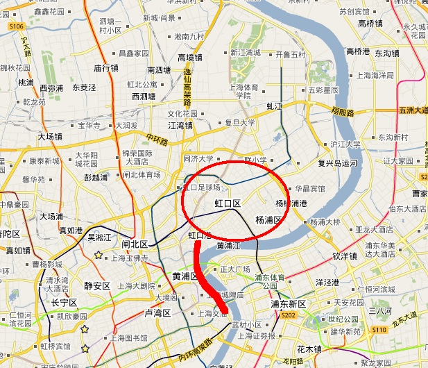
There are no metro stations near where I live, and I have to find ways to get to the metro station in the morning. I tried many different approach.

Driving to Metro Station

Currently, this is no park and go facilities in Shanghai yet. I used to park my car at the gate of Century Park, and it takes only 10 RMB (1.4 USD) per day to park. I like it a lot, and do park and go at that time. But, it was closed already, and so does all the cheap parking lot near Metro stations like Longyang Road station, Shanghai Science and Technology Station. The current parking lot is both far from the station, and charges 10 RMB per hour. For people like me who often get back very late at night, I can easily paying 100 RMB to 150 RMB per day (that is about 20 USD). Not a very good solution for me. If anyone knows any good parking lot near these three station, or even stations far away, I would like to give it a try.

I do hope the city can build park and go facility and charge cheap for that, so I will definitely do it.

Bus to Metro Station

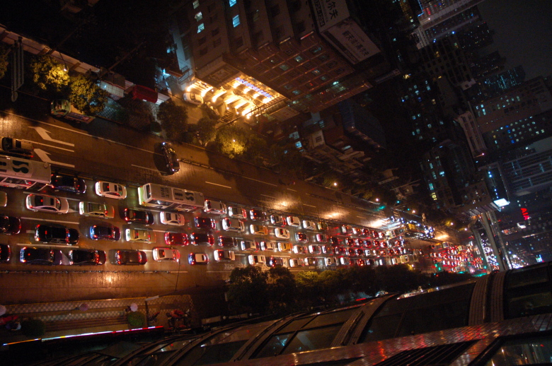
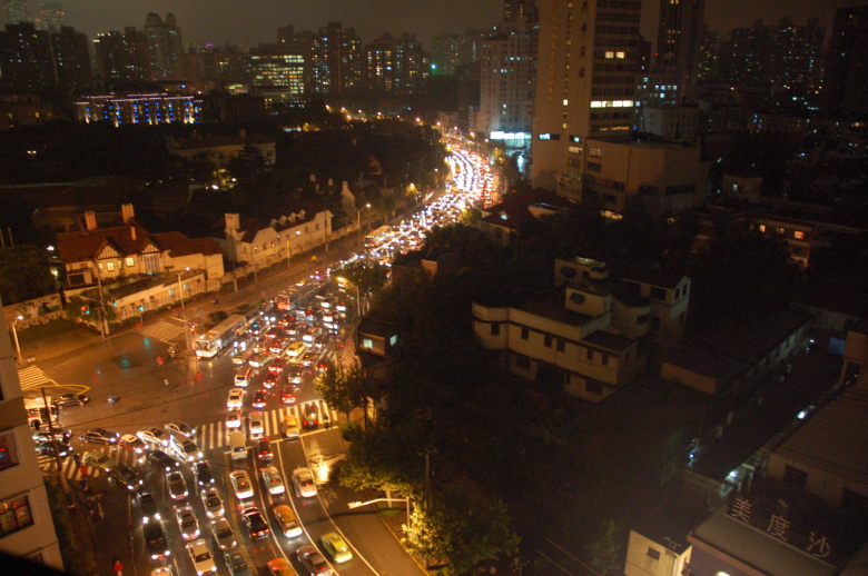
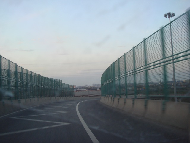
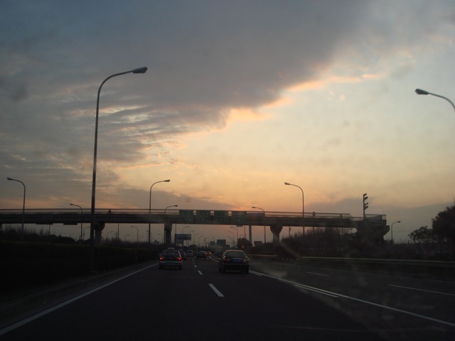
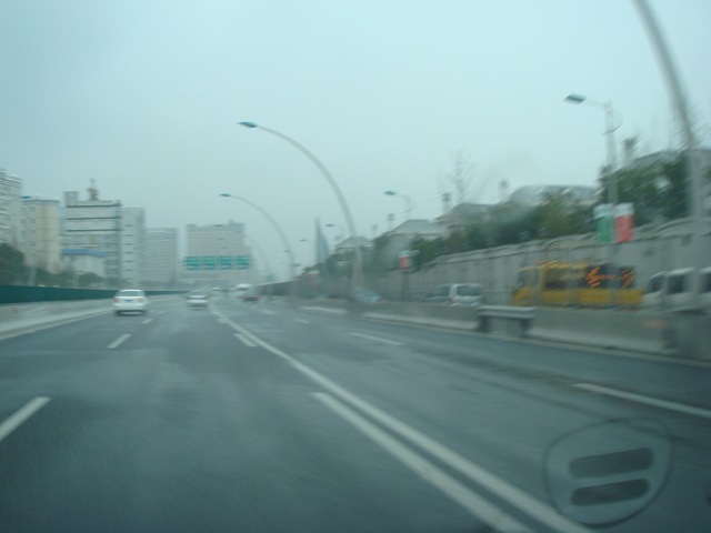
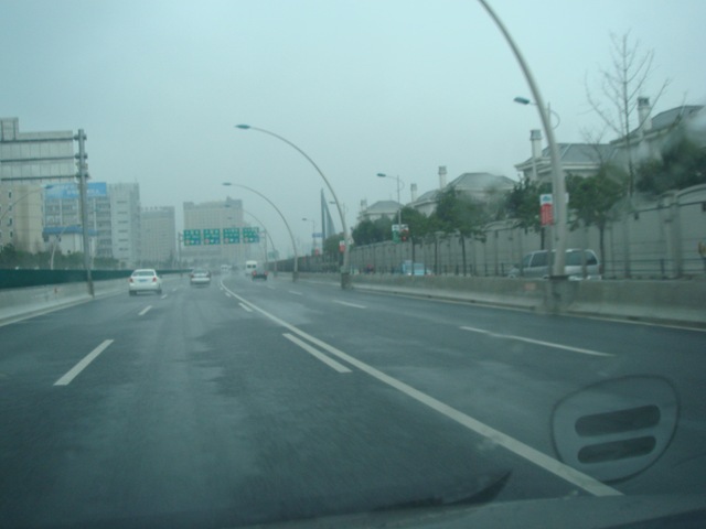
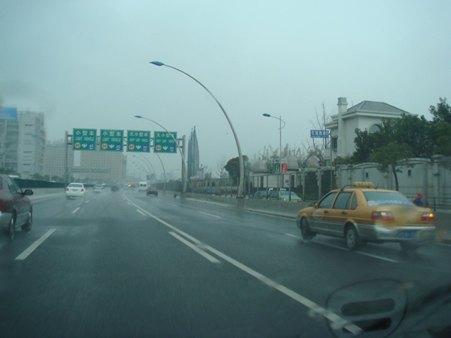
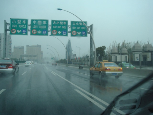
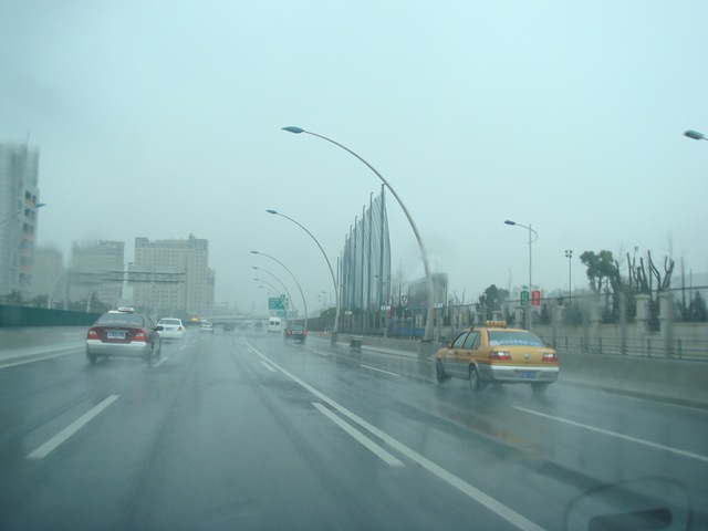
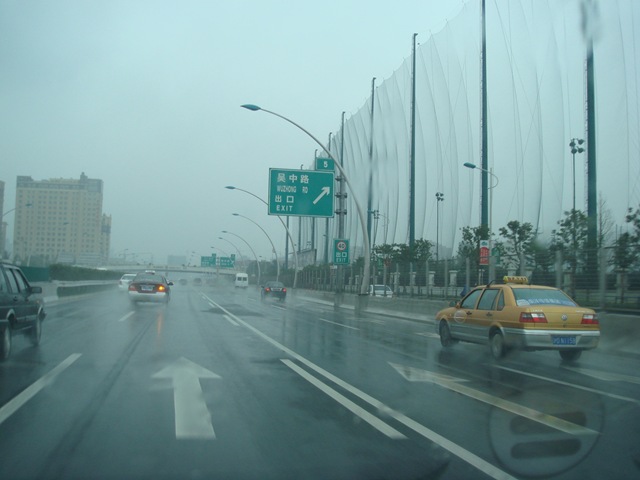
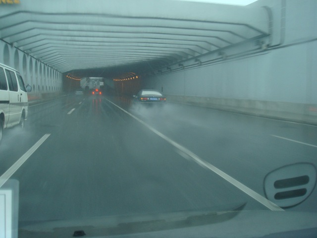
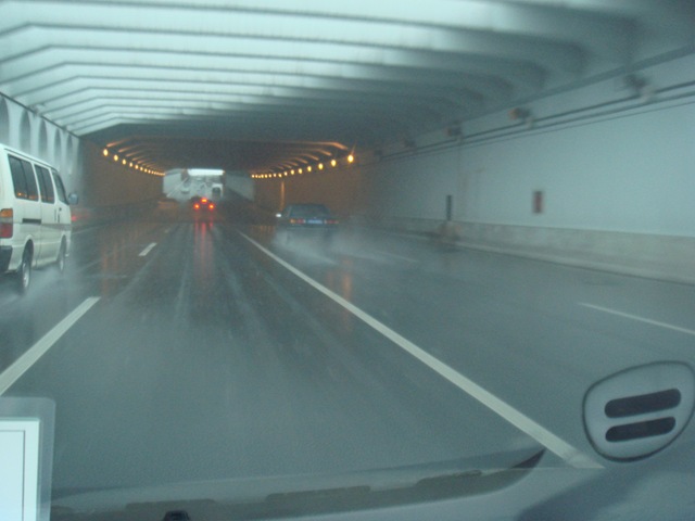
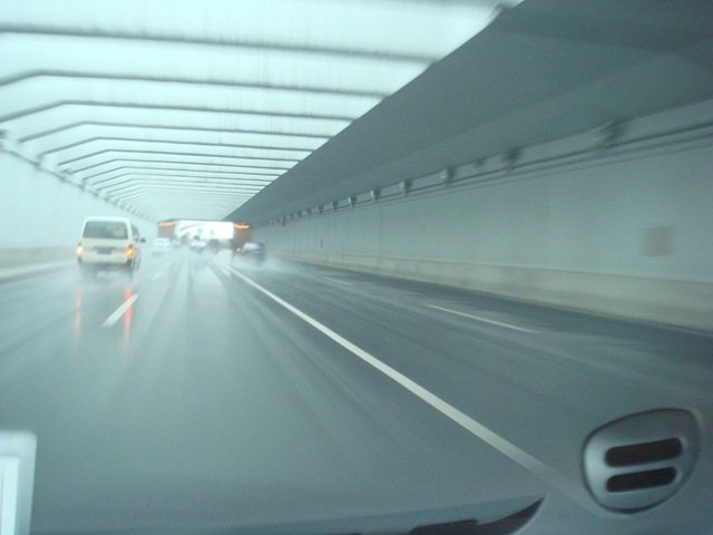
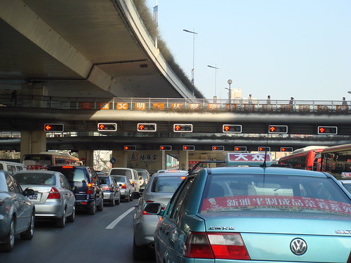
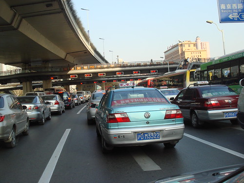
There are buses from where I live to Metro Station – I choose the Lancun Road station of Line 4, because there are no bus to other stations from where I live. When it rains and at rush hour, it easily take 40 minutes to get through the traffic near Pujian Road, or longer. I was proud of the traffic in Pudong, but not any more. That is about 1 and half hour to get to work, or longer if I am not lucky.

Taxi to Metro

This is also a dream solution, if I can call a taxi. In the morning from 7:00 to 9:00 AM, in the area, there is NO taxi at all. There are some illegal taxi departure at around 7:40 AM to metro station. I may consider take it some day.

Move to Downtown

I’d love to, if I can afford the price of the area – I shared the story of appointment finding experience, and we tried very hard. No result yet, and house price in that area keep increasing. We have a baby and we need bigger house than before, so it can easily cost 2-5 million RMB for a so-so apartment. Rent for a big family also does not look right, especially when I want Yifan to escape from the crowd and pollution in downtown.

We are also looking at the alternative of rent a smaller apartment for just we too, and even though of the stupid idea to drive home just for dinner and send Yifan to bed, and then drive back to the apartment at night, to avoid morning traffic. As I said, it is a stupid idea.

Back to the metro idea, transit at People’s Square or taking Metro Line #8, or #2, or #1 South section are miserable. Taking Metro Line #8 as an example, I am often told that people have to wait for 3 trains to get onto it in the morning. Regarding driving a car – I don’t like to drive in the morning, and I don’t want to show off my cheap car (although I love it so much and Goudaner is doing great so far). What I want is just show up at office on time, and with a pleasant experience.

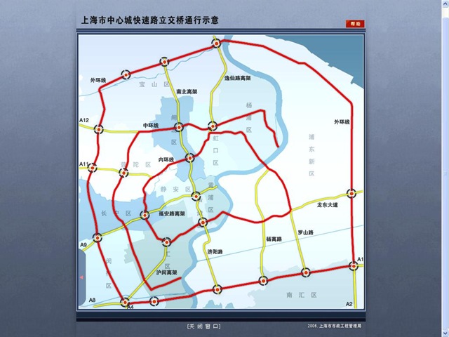
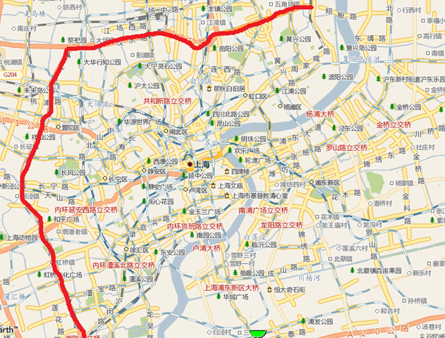
Shanghai is a big city, with life in it, and problems in it. It is not a very pleasant city yet. In the last few years, I am trying to make the city more accessible information wise, but I also face some problems like commuting to work. In some areas, Shanghai is getting better and better, but in other areas, like transportation, it is getting worse. I am expecting the Metro Line #7 to open, which has a station near my home. I would be very excited to park my lovely car at its own parking space all the time, and use the Metro all the time (even at weekends). But any way, I still love my life and love this city. I am not complaining. I just want to find a solution to my little problem. Besides this, life is wonderful.

So, that is the problem of living at where I live, and any suggestions? I’d love to save time, or save petro, or both. Suggestions are welcome, and I will try new approach (other than leave home at 6:00 AM) and see whether it works, then report on this blog.

Leave Home Early to Avoid Traffic Jam

The recent traffic in Shanghai is worse and worse. Wendy and I was deeply annoyed by the current situation. The trip from our home to my office was used to be 45-50 minutes, but now, it is always more than 1 hour. There are many metro stations along the Zhaojiabang Road (4 of them), and Xujiahui just detoured all the traffic on Hongqiao Road to allow space for Metro #9, and #11 station construction. This adds another minute delay.

So we have decided to leave home before 7:00 AM instead of before 8:00 AM. This is the first try. We wake up at 6:40, and left home before 7:00 AM. The reason we choose 7 is, then we can get to the elevated highway before 7:30 AM, from when we are not allowed to use the road.

Today’s test is discouraging. It also takes 1 hour for us to get to Xujiahui. The good thing is, though, we don’t need to worry about being late to office.

So, we thought of an even more aggressive plan. We hope to stick to 7 AM for some time, and push our limit forward to leave home at around 6:00 AM. Let’s see what it looks like.

P.S. What we can confirm is, one day, we left home at 5 AM, and it was pretty empty everywhere, which inspired us to wake up early to avoid the traffic.

Update about Earthquake

Like all the other days, we sit before TV to watch what is going on in the earthquake area. The jammed dam was dangerous enough to breakout, and tonight, they have to migrate about 300,000 people from Mianyang to higher mountains. The plan to move more than 1 million people is in place in case the dam collapse. It is another round of danger for the suffered people there. I will keep my fingers crossed, and keep donating money to them. If you want to help, I would appreciate it on behalf of the people in epicenter.

Thinking of Charity Sale of eBook of this Blog

I am also thinking about assembly something, like a e-book of all my blog entries with pictures, to put on a charity sale on my blog. 100% the money will go to disaster relief efforts. Anyone has any idea about what is the best way to do it based on a MovableType platform?

Expressways in Shanghai – Part II

The illustration of this map below (I draw it today), and the description of the previous entry: Expressways of Shanghai

 shanghai.highway

Update on this map:

A6, A7, and A5 is completed, as well as the A30 south section.

Please continue this  article with part I, where I introduced all these expressways.

Update: here is the "official" version of the same map as I draw – much more professional, and more useful.

screen-shanghai.express.ways

screen-shanghai.express.ways.2

Middle Ring of Shanghai – Part II

This is the second part of the Middle Ring of Shanghai. (Refer to the first part for illustration of the road lanes)

This is the middle ring on the map. The red line is the Middle Ring. It is not a ring yet, pending the the second half of the circle (mainly in Pudong) to complete this year.

 image

Note: Thanks for Dash to point out the error in the first draft of the image.

Visual Tour of the Middle Ring

Here is my trip of the road, taken when the road was just completed. Now, it is much more crowded.

Below: the entrance of the ring at Hong Mei Road Intersection.

shanghai-middle.ring-1   shanghai-middle.ring-4  shanghai-middle.ring-6 shanghai-middle.ring-7   shanghai-middle.ring-10 shanghai-middle.ring-11  shanghai-middle.ring-13     shanghai-middle.ring-18       shanghai-middle.ring-25 shanghai-middle.ring-26 shanghai-middle.ring-27 shanghai-middle.ring-28  shanghai-middle.ring-30 shanghai-middle.ring-31

So Many Red Lights!

I took this picture today at the intersection of Yan-An Road, and the Huashan Road.

Photography by Jian Shuo Wang

Photography by Jian Shuo Wang

If you count carefully enough, you will see 14 red lights in the picture. There are 7 lanes for single direction. Isn’t look funny?

Here are the Google Map of the area.

Drive on the Right in China

After visiting Australia and drove on the left for one day, the question attracted my attention that why in Australia, Japan, and England people drive on the left while many countries drive on the right.

China Used Drive on the Left

The first record of traffic rules was found in China in the book “The Book of Rites” 礼记, that requires “”The right side of the road is for men, the left side for women and the center for carriages.” That was in 1100 B.C. [1]

Before 1946, most places in China drive on the left, for example, Shanghai. In certain provinces in north China, people drive on the right. (Maybe at that time, “Drive” may mean drive horse-cart, instead of automobiles)

I checked old pictures of Shanghai, and confirmed that in 1930’s, people really drive on the LEFT!

shanghai-traffic-1930.jpeg

Image in courtesy of anactofbalance

China Changed to Right-Hand-Drive in 1946

In 1946, the Republic of China government announced that all cars in China must use the right lanes from Jan 1, 1946. This maybe the result of closer relationship with American and imported greater American cars than British cars.

So, people start to drive on the right.

There is not right or wrong – it is just part of the history.

In China, Trains Go on the Left

Believe it or not, in China, all trains still go on the left, as the early days when the railway were built in China. I guess the change to railways is much harder than change the car system. Till now, if you travel in China, you still see trains traveling on the left.

BTW, all closed system trains are right-handed, like in Shanghai Metro and Beijing Metro, the train is on the right.

There are a lot of interesting things for us to explore, isn’t it?

P.S. It is also the learning that we should NOT ask questions: “Why people in the other countries drive in the WRONG way?” In this world, there are just different ways, instead of “WRONG ways”.

Expressways of Shanghai

Following the Middle Ring article I wrote today, let me talk a little bit about the expressways in Shanghai.

Expressways in Shangha, hand drawn by Jian Shuo Wang

Shanghai has a network of expressways. They are still building it, but it is many more than I came to Shanghai 10 years ago. They used the alphanumeric system to name the roads. It is A+number.

On numbering system, please refer to my article: Top Three Innovation that Failed in Shanghai. In 2004, many people cannot get used to it. Now, I believe it works much better than 2004. People complained that A11 is worse than “Huning” which means “Shanghai-Nanjing” Expressway. Now, after having more than 10 expressways, maybe numbering system starts to show more advantages than Chinese character naming system.

For the Chinese names of these roads, please refer to the second part of this article: Lupu Bridge Opens

A20 Road

Outer Ring. It runs besides Hongqiao Airport, and connects to Pudong Airport via A1. Many Axxx road starts from A20. Typically, areas outside A20 are considered suburb of Shanghai.

A30 Road

The Suburb Ring Road. Still under construction, but it is the out most ring in Shanghai.

A1 Road

Yinbing Avenue. It mainly serve one propose – connecting A20 to Pudong Airport. The name A1 implies it is a very important expressway, although it is the shortest one among all these expressways.

A2 Road

Hulu Expressway. It connects A20 and the Donghai Bridge and the New Harbor City

A4 Road

Xinfengjin Expressway. It runs from A20 (at Xinzhuang Interchange) to Fengjing. It goes cross the Huangpu River by Fengbu Bridge. The highlight of this road is the Shanghai Jiaotong University Minhang Campus, and the Zizhu High-Tech Park. Microsoft and Intel opened research centers there.

A5 Road

Jiajin Expressway, from A4 to Jiangsu. I haven’t try this road yet.

A8

This is the major road to go to Hangzhou. It is also called Huhang Expressway. 2 hours down A8 is Hangzhou.

A9 Road

Unlike A8 and A11, it does not connect Shanghai to major nearby city. If you really want to know what is the other side of the road, it is Huzhou 湖州. If you go down this expressway long enough, you eventually arrive at Chongqing.

A11 Road

From Shanghai to Nanjing

A12

Hujia Expressway. Jiading is a remote district of Shanghai. This expressway is also the first expressway in China.

These are the expressways I know – at least I can remember now. There are many other highways in Shanghai, but I either didn’t use it before, or still under construction.

Cheng Shan Road Opens

After one year of construction, the Cheng Shan Road near my apartment finally opens these days. It provides a new way to directly go to the Lupu Bridge directly from my home.

Along the road, there are still many villages. Although it is the site of the Shanghai Expo 2010, currently, there are still villages in the cities. The villigers are planning their new life since the villages will be moved to other places, and modern buildings will raise at the same place. The road is the first step to kick off this kind of construnction. I believe in the year 2010, this area will be completely another new look.

The opening of the road is great news to me. When people are discussing big events in the world, the small news like the completion of a road around my apartment is something really meaning for me.

P.S: Google Local was release recently. The domain is bendi.google.com, a very local name. Meanwhile, it gives a much shorter name for the Chinese version of Google Local.

Road Report between Home and Xujiahui

I wake up in my Pudong home. The clock was 8:15 am. We had 45 minutes to drive 13 km to our office at Xujiahui

I don’t know when others get up in other countires of this planet; 8:15 is obviously too early for me. My friend in U.S. commented: “I don’t believe life in Shanghai is more busier than in U.S.” Well. You bet. Shanghai’s life is at least busier than Seattle. New York? I know it is much busier, but I have to see by my own eyes next month to judge.

Around 8:25, Wendy and I appeared in the car. Booted and warmed, the car turned right and run onto the Jin Xiu Road in Pudong. Ten minutes later, we were on the Nanpu bridge. I studied New York map today and found Nanpu seems to be at the simliar location of Brooklyn Bridge.

After the Fu Xing tunnel opened, Nan Pu changed a lot. Before, it was very crowded at rush hours and cars moved very slowly (5 km/hour???) although never stopped for more than 30 seconds. It is no longer the Nan Pu in my definition. When I drove my car onto the bridge and ran at speed of 70 km/hour, I asked Wendy: “Are we really on the Nan Pu Bridge?” I I said it almost every morning.

The Pu Xi side of the Nan Pu Bridge is funny – the road goes along a large circle to slowly goes down. Before I entered the Lu Jia Bang Road, my car had turned 500 degree already – one and a half full circle. Because the Nan Pu Bridge is too high (it has too accommendate large ships on the Huang Pu River), the distance I have to go on the bridge is almost five km. It is safe to claim about 40% of the distance I cover every morning is spent on a bridge.

Unlike the positive change of the Nan Pu bridge, the other part of the roads became crowded everyday. The portion I spent on the bridge and off the bridge changes everyday. I spent more and more time on the road between Nan Pu and Xujiahui.

My driving skill improves dramatically during the last year. I have completed the internship (one year after getting driver’s license). As a (some-what) experienced driver, I started to feel Road Rage. I hate driver behind me to horn and flash front light pointlessly. I always wanted to step on the brake when I found these rude drivers…

Pull the car into the undergrand parking area, It was almost 9:00 AM. Basically, it is still a fantastic idea to have a car in this city. It feels like stepping into one’s office directly from the breakfast table.

P.S. I will visit Shanghai Jiao Tong University Min Hang Campus to speak at a Microsoft Technical Club event at 7:30 PM, Nov 25, 2004.

Top Three Innovation that Failed in Shanghai

The complete title of this entry should be:

    Top 3 Failed Innovation in Shanghai that I Supported

Shanghai is a changing city and an international city. The change on transportation system is among the best. I should say I am very happy about the improvement the transportation administration made for Shanghai. Good examples are: Dynamic Traffic Display Board. However, things are not always as good as planned. There are three innovations that follows the international best practices that I strongly supported turned out to be failure.

First, Numbering of Highway with A + Numbers

Shanghai’s highway system was named after the starting city and the destination city. For example, the highway from Shanghai to Nanjing is called Hu-Ning Highway 沪宁高速公路; the high way from Shanghai to Ping Wang (near Suzhou) via Qing Pu is called Hu-Qing-Ping Highway 沪青平高速公路.

This naming convention brought many trouble for international visitors. To follow the international practices, the transportation administration changed the naming to A+number. For example: Shanghai-Nanjing Expressway was named A11 and Shanghai to Hangzhou Expressway was named A8.

Hand made by Jian Shuo Wang. Used in Group Drive to Yang Cheng Lake

Recently, report said it turned to be a big failure because few people can remember the new names. Does A11 go to Hangzhou or Nanjing? Not very sure and it has caused great confusion. Many car accidents happened for this. Now the authority has added the Chinese name and Pin Yin near the A1, A2,…. A11 signs.

Second: Press for Green Light

At some pedestrian, big blue buttons were added so people can press this button for green light.

There are such buttons everywhere in Seattle, but it is not as useful in Shanghai. Sometimes it does not work (refer to Push-for-green-light button section in Traffic Rules in Shanghai). People never use it because in such as a populated city, the button is not necessary at all. It is hard to find a cross-road that lack of passing people. Just assume the button is always pushed.

I don’t mean to complain. I was a strong supporter for this button but the fact educated me that something works in the western countries may not work in Shanghai.

Third: Taxi stops

New taxi stops were constructed across the city. Passengers can press a green button on the equipment and the big display board on the top will show a waving hand and taxi will stop by. It reduces the interference of random call for taxis.

Up to now, no one is using the equipment. When I press the button to call for taxis, no taxi stops because the taxi drivers don’t know what the waving and the beeping mean yet. It may take time for everyone to get used to it, but there is hint that this great innovation may take quite some time to be adopted.

Something in the West? May not work in China

These are vivid example of what works great in the west may not work in China – just as the economy of China has beaten down many of the expectations of western economist.

Dynamic Traffic Display Board

shanghai-traffic.sign-yan.an.rd.jpg

© Jian Shuo Wang. The dynamic traffic display board on the elevated high way of Yan An. Rd. near Jiangsu Rd.

From the display board, drivers can clearly see the traffic condition of the ways ahead and choose one of the three channels to go to Pudong – the tunnel, the Nanpu Bridge and the Lupu Bridge. The green lines mean normal traffic. Sometimes, it is red, meaning the traffic is high on that road. It also gives drivers estimation to the Bund.

I think this is very cool.

Always-Red Pedestrian Signs

Hey. The traffic signs are still not working!

I talked about pedestrian signs at Cao Xi Rd. North 漕溪北路 and Nan Dan Rd. 南丹路 were already read in four directions in this article: Traffic Rule in Shanghai.

Click here to see the map of the point with my Map Viewer.

Tonight, when I passed by the cross road, I found the signs were all red again during the ten minutes when I was there. Faint!

I believe at least I can call the authorities to fix this small bug of the city – a bug that existed for 8 months already. Haha.

Michalle told me that if there is no professional customer, there is no professional service. If customers never give feedbacks, if they don’t send compliment letter when they receive good service, or don’t complain if the service is bad, there is barely no chance for the service to improve. I tend to be the complainer so other people don’t need to complain after the problem is fixed. Haha.