Dishui Lake Satellite Pictures

Dishui Lake is my favorite place to spend a weekend. Today, I found the satellite pictures of this artificial lake is updated on Google Earth.

image 

The bigger scope of the lake.

image

Zoom in and see the current building. I believe there will be many more buildings in this area.

image

This is the relative location of the Dishui Lake in Shanghai Map.

image 

In term of its relationship with Yangshan Deep Water Port, here is the map:

image

How to Get to Dishui Lake (Dishuihu)

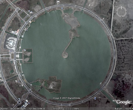
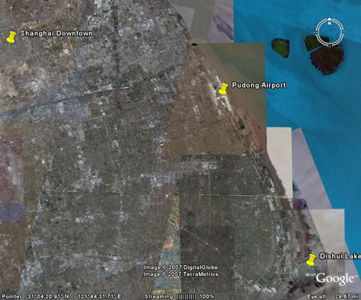
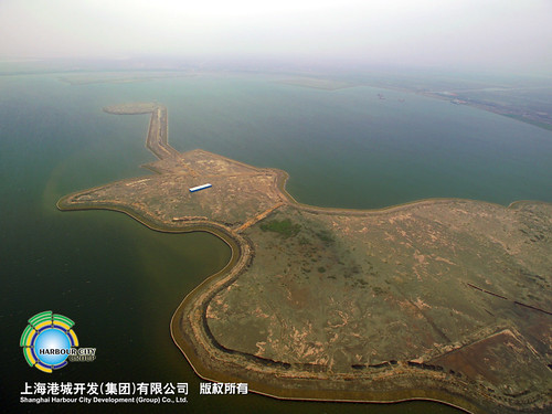
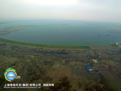
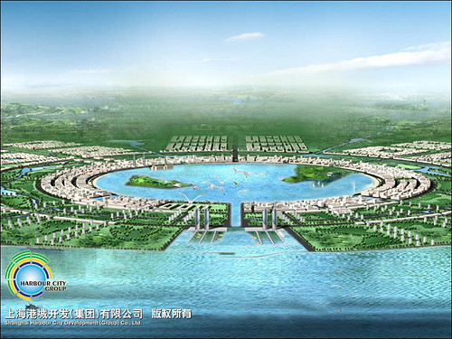
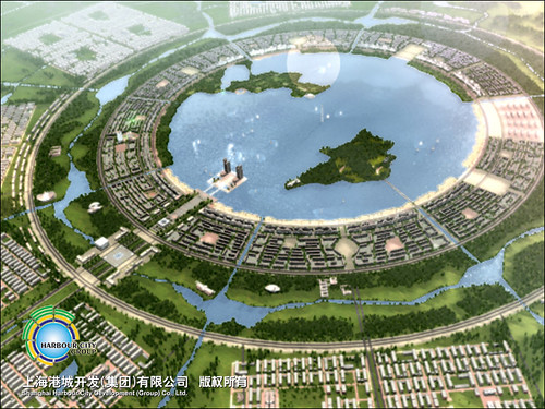
Dennis about where Dishui Lake (Dishuihu) is. That is the most beautiful lake in Shanghai – because 1) it is big, 2) There are very few people there – both are very hard to find in Shanghai.

Here is how to get there.

By Driving

By driving, it is very straight forward.

1) No matter where you are (I mean within outer ring), get to the nearest A20 first – the outer ring road.

2) Turn to A2 (Shanghai-Donghai Bridge). The intersection of A2 and A20 is at the south-east corner of A20. A20 is actually not a perfect circle – there is a almost 90 degree corner at southeast. It is also the intersection of A1.

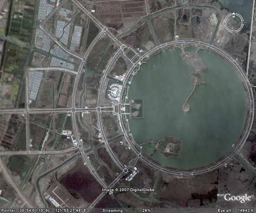
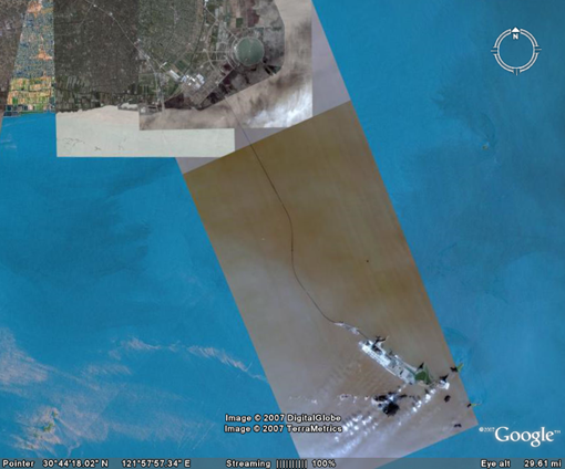
If you want to view the satellite map, here you are:

As you can see from the big interchange on the map:

To the west, is A20, Xupu Bridge Direction.

To the north, is A20, Outer Ring Tunnel Direction

To the east, is A1, to Pudong Airport

To the south, is A2, to Donghai Bridge

OK. Then turn A2, and prepare to run for about half an hour.

3) Take the final exit (where A2 ends), and there is a Dishuihu Logo and Direction board.

4) Turn left (heading directly to east), and keep going (don’t turn left, and turn right. When the road ends, you see the lake.

Bus

There are not many buses to Dishuihu. This route MAY work – I didn’t try it yet, and let us know when you do try it yourself.

1) Take Long-Lu Line 龙芦专线 at the Long Yang Road Station (Metro Line #2).

2) When you arrive at the terminal station at Donghai Bridge (before the bridge), take a motor cycle (notice: it is illegal for them to operate but it seems the only way to do it), to Dishuihu. Price on the Internet was 5 RMB for the trip.

Others?

If you take motorcycle from Ningbo (like Denis), first find road to Donghai Bridge – you won’t miss it on the map, and then the lake is just 5 minutes drive away.

Hope you are able to visit the lake before too many people know it.

Big Circle Roads South of PVG?

I have all kinds of interesting people reading this blog. Among them is a pilot GC (I am not sure if he is comfortable to expose his name, so let me use initials before I asked). He said he flies big planes to PVG frequently (a real frequent flyer). He noticed my trip to U.S. via United Airlines, and checked his logbook to see if he was my pilot – what a pity that we missed each other (or I missed his flight) several days both way.

Anyway, he asked a question maybe only a frequent flying pilot to PVG (airport code for Pudong Airport) will ask: What is the Big Ringed Roads South of Pudong Airport? Here was his question (with my editorial change):

Here’s a question for you… When we approach Pudnog from the south, to land to the north, we pass over an area 16 nautical south of the airport that has a huge ringed road. Any idea what it is? I was looking to see if I had a photo of the area but can’t find one. I also looked for satellite photos but can’t find the road. It is very obvious and would certainly chow up. Someone told me it was an atom accelerator research site. Others have said a resort area. Maybe you have an idea.

My dear readers, anyone has any idea about it?

My Guess is the Dishui Lake

At the very beginning, I completely have no idea about what the ” huge ringed road”. It may be a atom accelerator research site – splendid imagination. I don’t think it will be.

Finally, one idea hit me – the Dishui Lake. I posted picture of the lake in my previous post, but people cannot have an idea about how big and what shape the lake is.

It is actually a huge round lake – a precious circle since the place was original sea, and people put sand and soil into the sea to built a huge lake from the sea.

Here are some bigger picture (I used picture quoted from Internet since there is no way for me to climb that high).

Image in courtesy of Shanghai Harbor City

Image in courtesy of Shanghai Harbor City

Image in courtesy of Shanghai Harbor City

Image in courtesy of Shanghai Harbor City

Image in courtesy of Shanghai Harbor City

Image in courtesy of Shanghai Harbor City

Image in courtesy of Shanghai Harbor City

Check their website

At night, the several rings of the road was lit up, and I believe it must be very obvious from the sky.

I am very sure the “atom accelerator” the pilot saw should be this lake.

You cannot find it in Google Map, or Google Satellite image, since in that old image, the location of this “lake” is still sea.