“Where is Daocheng?” Asked Bill when I told him about the trip. This is the first question my friends asked me when they heard about the trip.
It is a reasonable question since Daocheng is not a famous place now. Unlike other similar scenery spots like Jiuzhaigou or Lijiang, Daocheng is not known by many people, even in China. Let me show you where it is.
The county of Daocheng lies near the conjunction areas of Sichuan, Yuannan and Tibet. It belongs to Sichuan Province. Traditionally, there are two routes to go there – one is from Kunming, the provincial capital of Yunnan, or from Chengdu. We choosed to start from Chengdu.
Currently, the only transportation from Chengdu to Daocheng is by bus. It is said the airport of Daocheng will be ready by 2001, but it is not ready now – maybe it is only a joke. Starting from Chengdu, we choosed the North Route. It starts from Chengdu, via Mt. Siguniang, Wolong, Xiaojin, Danba and reaches Xinduqiao. The road for this route is very good, but it is still dangerous. The first mountain we crossed was called Mt. Balang.  On the picture you can see the roads winding among the mountains.
Wolong is famous for its nature preservation for Pandons. Xiaojin is a historical town when two routes of the Red Army met after the famous Long March. Danba is called the Valley of Beauties, since lot of famous beauties in the history of China was born in Danba. Xinduqiao is the gateway town where the North and the South routes to Daocheng meets. We arrived in Xinduqiao at 12:30 AM.
The next morning, we spent some time taking pictures in Xinduqiao. The mountains and cattle fields near Xinduqiao is called the Heaven of Photographers.
Fron Xinduqian, there are still three big mountains waiting for you on your way to Daocheng. They are Mt. Jianzigou, Mt. Gaoersi and Mt. Haizi. The highest point of the highway are about 4600 meters above the sea level – please note: This is NOT the height of the mountains – it is only the highest points of the highway. The mountains themselves are higher. The bus climbed through the narrow mountain roads up, up and up, then down, down and down. After we climbed all the three mountains, we arrived in Daocheng. It is already 1:30 AM the next day. The bus may break down, and the road may be cut by flood or stones rolling from the top of the mountains – we did got off the bus to remove all the big stones on the way before we can continue. We also waited on the narrow road for about half an hour just for the road ahead to be repaired.
Daocheng is a beautiful place, especially the woodland south of the county.  But the desination of the trip is actually Yading, where we can see the three holy mountains. It is 110 km away from Daocheng. In the high land area, donot use the 70-100km/hour normal bus speed to calculate. 30 km/hour is the highest speed possible. 110km requires at least 3.5 hours. I was told that before the new road is completed, it costs about 12-16 hours for the 110km. Thanks God because the new road was completed 10 days before we got there.
Leaving the county of Daocheng, heading southwards, we arrived in Riwa that is 73 km away. I took a lot of pictures in Riwa. 

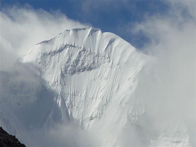
The base of Yading is 37 KM futher from Riwa. The scenery is beaufiful on the way to Yading, but it is still the normal scene we saw for the first three days. Until we are almost there – 30KM or so – we finally saw the snow mountiains – Yangmaiyong and Xiannairi – it was really breathtaking when we first saw them.
When we finally reached the tents we are going to stay in, it was already three days since we left Chengdu. Tired but exciting, we are staring at the mountains and cannot speak a word – just so beautiful!!
To see the mountains, we started early the next day and begin to ride horses. I am with the big horse the whole day – with him, I couldn’t cover so long a distance and reached that high.
OK. Now, I have successfully answered how we get there – three days’ of bus and one day of horse. It is a hard trip but it is worthy.
