I am attending a meeting at Yangshan Island. Here are some photos of the Donghai Bridge, and the Yangshan Deep Water Port. This is a meeting with government. I just found out that Yangshan is a great place to host a meeting – it takes about 2.5 hours to get there, including 0.5-1 hour to reach the A2, and 30 minutes on the A2 to Donghai Bridge, and 30 minutes on the bridge (at 80 km/hour), and 30 minutes on the boat from Xiao Yangshan to Da Yangshan. Here are some photos I took on the way there.
Where is Yangshan Port?
Google earth just specially updated the Yangshan Port area. On the satellite image below, you can see part of the bridge, and the part on the mainland is not updated – you should see a huge lake there in the current sea area.

It seems the recent updated Google Image has much higher resolution than before. Look at this one:

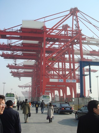
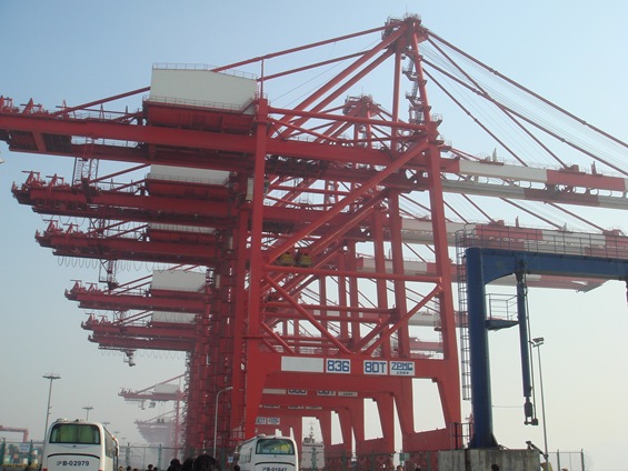
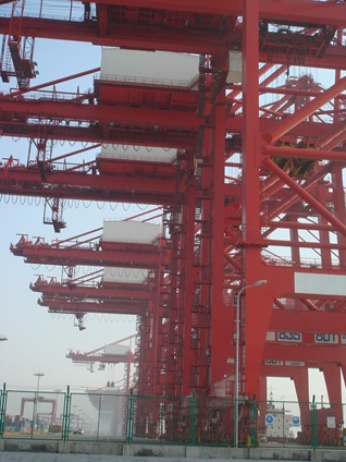
The bus stops at the Emergency Area, so we can take some photos of the port.
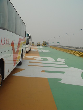
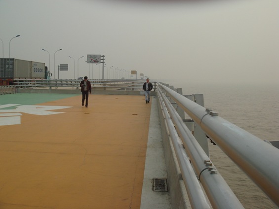
This is the platform – big enough for helicopters to land. There are several this kind of facility in the 32.5 km long bridge.
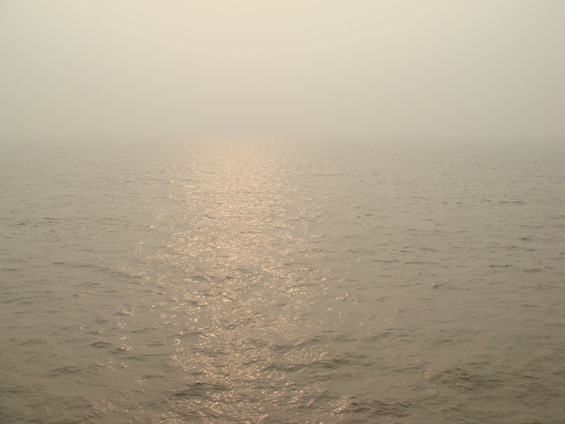
The water of the East China Sea is highly polluted, and it is all yellow.
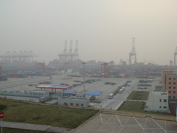
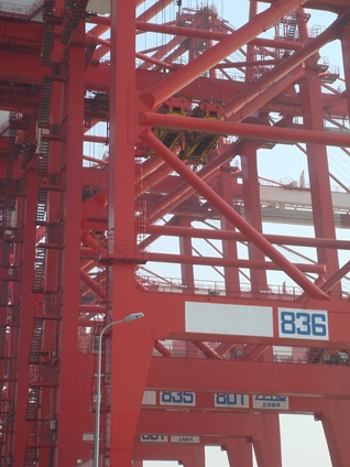
From the top of the hill looking down to see the whole port area.
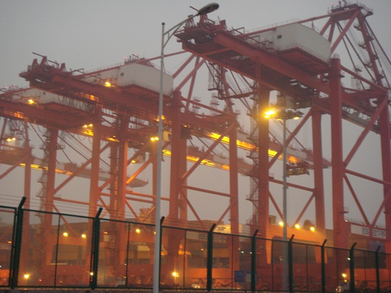
The night of the Yangshan Port.
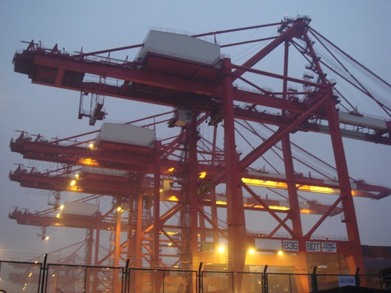
This is the photo I took this morning when we returned from the Da Yanshan Island.
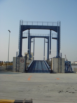
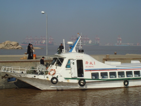
This is the view from the harbor of Da Yanshan Island, looking at the Xiao Yangshan (where the port is located). The fast ferry only takes 15 minutes to get to the other side.
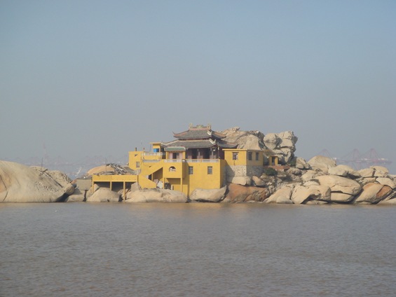
This is the temple fishers go to before they sail into the sea.
Hi, a message from europe, holland. Great pictures, my son is heading towards this harbour on board of a large container vessel on his first trip. I have heard a lot about this great piece of enginering. Yhese pictures gave me an oppurtunity to look around were my son soon we will be.
Great!
My name is Apinan Ubonnue .
I from Thailand.
My occupation : Port Authority of Thailand.