I randomly browsed the Pudong Area using Google Earth, and found interesting image of the area.
Pudong is more interesting in Puxi in Google Earth than Puxi – the combination of morden and traditional.
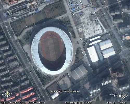
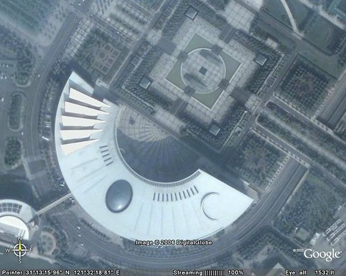
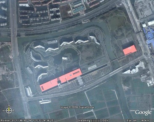
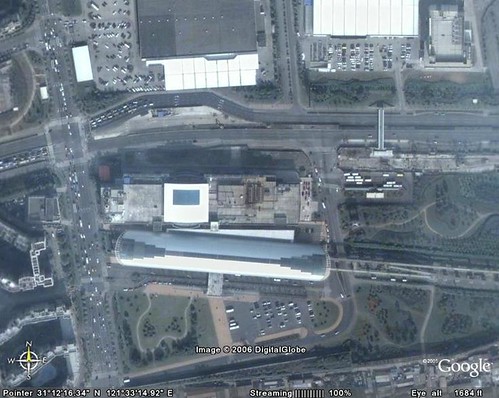
Yuan Shen Stadium
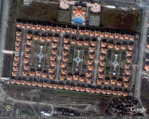
Nice villa in Biyun district
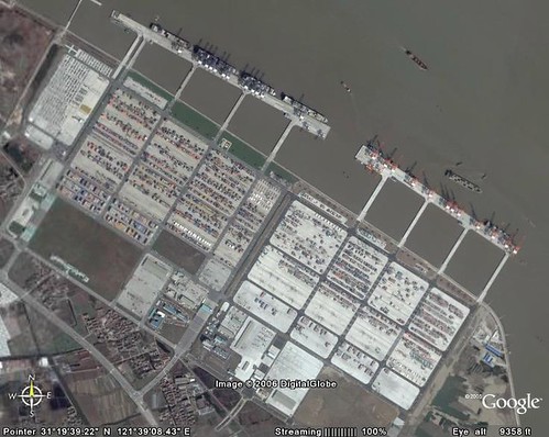
Gaoqiao Port at Yangtze river
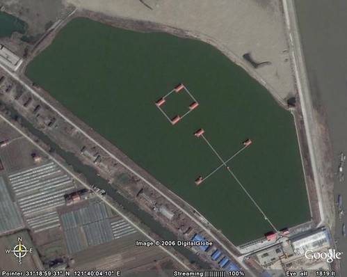
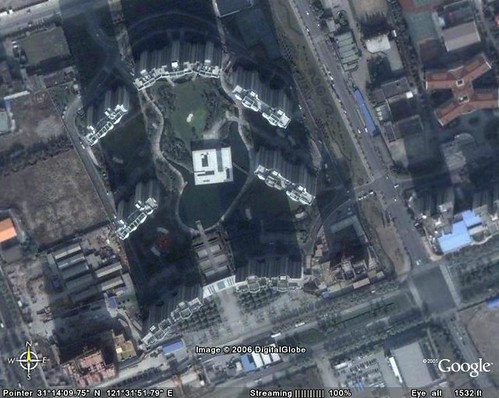
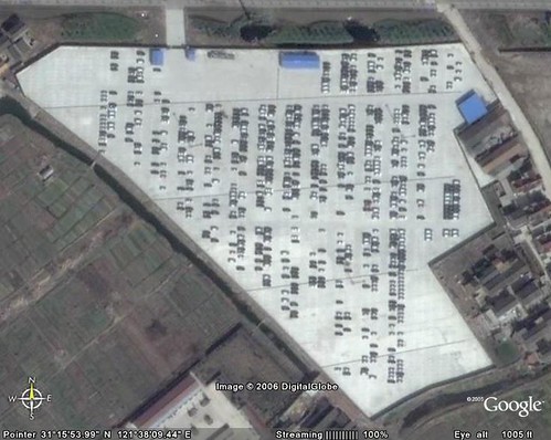
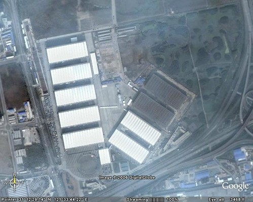
What’s this? No idea what this is used for.
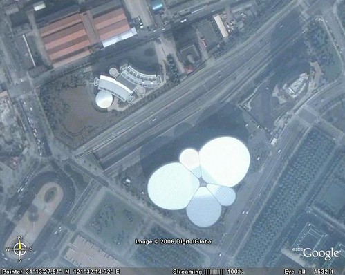
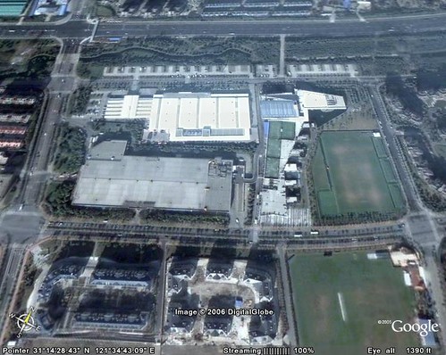
Shanghai Science and Technology Museum
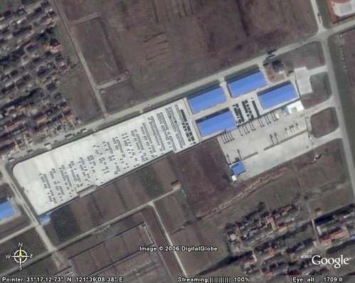
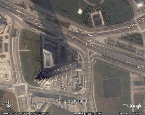
I suspect this may be the Shanghai General Motor
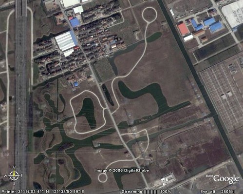
There are some strange roads like this, with a circle at the end. This may helps cars to make U-turn at the end of the roads. There are some other area with roads like this. It looks interesting when seen from the sky.
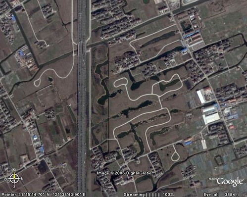
Another area with strange roads
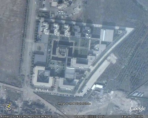
The Party Institute
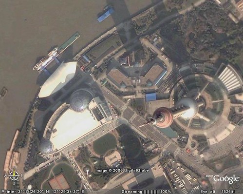
Pearl Tower
Shanghai Oriental Center
Haozhai
Maglev Longyang Road Station and the Metro #2 Long Yang Station
Big parting area for GM in Pudong (I guess)
Jinmao Tower
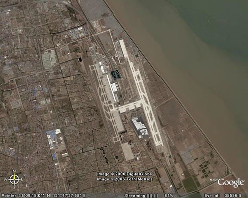
Pudong Airport
Shanghai New International Exhibition Center
CEIBS (China Europe International Business School
Carefour at Biyun District
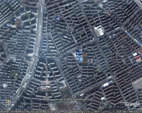
Crowded buildings
On left corner of every picture, there is a longtitude and latitude metrics. You can enter these numbers (long numbers) into Google map or Google earth to see the area around.
If you want, we can always find interesting things, even without leaving home, right?
wonderful!
those “strange roads” look like they will be for housing developments. rpads like that can be very common in US suburbs
I guess the fourth picture will be a lake for aquaculture.
could u post ur kml and share these placemarks with us?
or just send it to me by email…
Didn’t mark it in Google Earth yet. It is a great idea. Maybe I will do it later. I said “maybe”. Thanks guncn
Jian Shuo,
I was looking at a lot of buildings in Shanghai myself recently, but I couldn’t find the next building:
http://i14.photobucket.com/albums/a316/svache/1-DSC01487.jpg
Could you help me out and give me a .kml, or the coordinates, to this building?
Thanks in advance :)
I live in Pudong,but I even don’t know it’s so interesting to see from the sky…
It even seems that the Transrapid was caught in transit, look at
31.183147° N
121.579047° E
(not marked yet)
Joachim
Hehe cool, I didn’t see that one yet while I did find the maglev trainstation (31°12’17.23″N, 121°33’11.67″E)… maybe I should look more closer ^^
Jie Jun, it is the twin-tower of the Grant Gateway in Xujiahui.
Here is the location:
31 ° 11’46.65” N
121 ° 25’57.48” E
Cool, thanks for looking up the coordinates for me :)
Those “strange roads” are actually foot/bicycle paths that can be found along the A20 Highway and the Maglev. I should know, I have ridden on many of them. As best as I can make out from reading the signs in those area they are for agricultural research and development. Also, they are great places for a bike ride.
CJ
nice aerial view of Pudong!!!
but, maybe you can add up some descriptive title for each shots… hardly recognize what place is it??? or maybe it’s your intention of doing such, for us to guess what and where is that located? Nice trick>>>>
hopefully by the year end, will be there once more… Keep it up, and add more pictures (specially from your zoo, since it’s still summer) and the Thumbs Plaza..never had the chance to see that place last January… And, oh so pls, the Walter-mart, where is it located??? thnaks so much
till then…
Hi JS,
Why I cannot see such clear picture on my Google earth? I will get very blurred one once I get closer. Is that because I am not using the Google Earth plus?
> Why I cannot see such clear picture on my Google earth? I will get very blurred one once I
> get closer. Is that because I am not using the Google Earth plus?
You don´t no need Google Earth plus!
Where did you look, at Pudong or other places, there are still lots of places near Shanghai where the resolution is only soso. It cauld also be a problem with your internet connection,
it needs some time and several 100 megabytes over the internet to get a high resolution view, so you might need to wait a bit
BTW, also places around Wuxi are now high res, you can get a pretty clear view of the Ling Shan Da Fo (88m high Bronze Buddha!) at
N 31° 25′ 55”
E 120° 5′ 29”
Come across this website searching my asm’s topics.
Great! Miss China so much!
Never ever feel so pride of our country.
I am not shanghainess, but have been lived there for few years and which is the most important time of my life (school time). Most of the place I have been visited. I can’t forget the scenery of airport area. Every time so hate that place. Coz have to wave hands to my friends and my families.
No good can come of studying in other country.
Really really very beautiful! I never saw such wonderful pic of shanghai before. By the way,google earth is a so powerful software.